
Babylon Neighbors: Block Source Coverage
A block question calls for sources keyed to place, not a general people search. Suffolk parcel tools can identify land around an address. The Town assessment record can supply an owner or mailing field for tax administration. Civic lists describe groups that serve an area, and meeting records show public decisions. Each source has a narrower meaning than a general block label, so compare the record type before drawing a conclusion.
| Source | What It Shows About a Block | Access |
|---|---|---|
| Suffolk GIS parcel layers | Parcel geometry, roads, districts, and a parcel-linked owner-data lead | Public viewer and REST layers; reference only |
| Town of Babylon Assessor property search | Tax owner field, situs and mailing address, assessment, and parcel context | Property portal, rolls, or a defined FOIL request for eligible existing records |
| Suffolk County Clerk Search Records | Recorded grantor, grantee, instrument, and date tied to a tax-map search | Online index; images, copies, and older material can need paid, mail, office, or archive access |
| NYS Voter Lookup | A specific registration or polling-place response, not a block roster | Individual form with statutory limits; voter-file requests have an elections-purpose rule |
| Town community resources | Public-facing civic, service, cultural, and neighborhood contacts by area | Town listing, then direct status verification with the organization |
An owner of record is not necessarily an occupant, and a tax mailing address can be elsewhere. The voter form does not let someone browse an entire street. A community group does not establish membership or residence. These limits keep a Babylon block search tied to a real public source instead of a guess.
Defining Babylon Neighbors by Boundary
For parcel work, the relevant relationship may be an adjoining tax parcel. For a street question, it may be the same road segment. For community activity, it can be the same civic association, hamlet, postal city, school district, library district, or fire district. Babylon geographic materials show why those definitions cannot be silently merged. A single address can use one postal name, a different school or library label, a separate fire district, and a Town of Babylon government label.
Postal labels are especially different from municipal boundaries. Wyandanch and Wheatley Heights share ZIP 11798, while the Town describes different school context for Wheatley Heights. A ZIP layer, school district, or library service area can answer a service question but does not redefine a parcel boundary. State the chosen boundary in a research note before comparing records.
Babylon Neighbors by Parcel
The Suffolk GIS Viewer and REST MapServer provide the safest public starting point for the immediate block. The parcel and owner layers support map extent, identify, find, query, pagination, and other operations. Parcel ID, first name, last name, owner name, and geometry are documented owner-layer fields. Use the owner layer as a lead, then confirm a title question with the Assessor and County Clerk rather than treating a map point as final ownership evidence.
- Locate the starting address in the GIS map and identify its parcel geometry.
- Inspect parcels sharing an edge or facing the same road, keeping their parcel IDs separate.
- Check the Assessor roll for the situs, tax owner field, mailing distinction, and assessment year.
- Use the County Clerk tax-map search only when a recorded instrument needs confirmation.
- For a complete named-street chain, use the Babylon street directory rather than expanding a block exercise into a town-wide list.
Parcel adjacency is a land relationship. It does not identify every household member, occupant, delivery recipient, or utility customer. It also does not prove a social connection between two homes.
Note: Record the map layer and query date because parcel ownership and district layers can update after an earlier search.
Babylon GIS Reference Map Limits
Suffolk GIS is a research map, not a boundary survey. County materials say its maps are for reference and accuracy is not guaranteed. The viewer can help locate roads, building footprints, flood and wetlands layers, school districts, libraries, fire and EMS districts, hamlets, villages, and ZIP codes. Those layers help frame a Babylon block, but a map color by itself is not a legal boundary, a current mailing address, or proof of residence.
For a precise land question, reconcile the GIS shape with the Tax Map Division's district, section, block, and lot record, a recorded deed, or a survey. The Tax Map Division is the parcel-number authority. The GIS and Clerk services also have a 2,000-record or selection limit, so broad map or name queries must be narrowed before they are treated as complete.
Babylon Neighbors and Voter Data
NYS Voter Lookup uses county, last name, first name, date of birth, and visible ZIP or address refinements to return an individual registration or polling-place response. It has no public browse-all-street mode. A nearby address is not a valid substitute for the required person-specific information, and registration status or party enrollment should not be used to characterize a block.
Election Law §3-220 limits public inspection of registration records and protects or excludes driver-license information, Social Security numbers, and facsimile signatures. A request for voter-file data goes through NYS BOE FOIL/GovQA with an elections-purpose statement under Election Law §3-103(5). Suffolk BOE can address a defined voter-card request under current procedures. Neither route authorizes republication of household-level data as a Babylon block list.
Babylon Community Organizations Then and Now
The Town's community-resource listings provide a public-facing layer that a parcel map cannot. They list civic, cultural, service, fraternal, and neighborhood groups by place. Historical dates shown in those listings are useful context, not confirmation that a group still meets, has the same contact, or maintains a public roster. Verify current status directly before relying on a group as a community connection.
West and North Babylon civics
Town listings identify Belmont Lake Civic, Parkdale Civic, Sunset City Civic, and Poet Civic among area organizations. Their listed founding dates are historical notes, not current-activity proof.
Wyandanch resources
The Town lists Concerned Citizens Wyandanch, Greater Wyandanch Chamber, VFW Post 361, and Wyandanch Mothers for Change, plus the Wyandanch Community Resource Center.
Other local groupings
Amityville, Copiague, Deer Park, East Farmingdale, Wheatley Heights, and barrier-beach listings each have their own civic and service references.
The Town of Babylon Community Resources listing is shown below as the public index used for these organization categories.
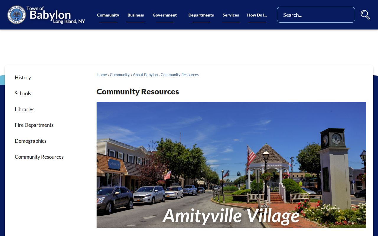
The listing is useful for finding public community contacts and local place names. It does not establish that a person belongs to a group or lives at a nearby address.
Babylon Neighbors at Libraries
Town materials name ten libraries serving the Town or its communities: Amityville, Babylon, Copiague, Deer Park, Farmingdale, Half Hollow Hills, Lindenhurst, North Babylon, West Babylon, and Wyandanch. A library service area is a community resource, not proof that someone lives at a particular address. Babylon Public Library also offers local-history support, newspapers, Ancestry, and Sanborn access, with some historic material requiring staff retrieval.
Public meeting records are another civic layer. Town Clerk holdings include Town Board and other-board minutes, while Planning Board and ZBA records follow their own routes. School, library, fire-district, and village boards maintain their own meeting materials. Request records by board, date, and agenda or minutes type. Do not assume that a Town Clerk record includes every independent service agency.
The Suffolk District Court scheduling page shown below identifies the Second District Court's Lindenhurst context and public-window information.
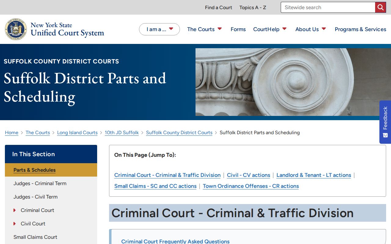
A court schedule can help sort a public case to the right forum, but it is not a residence source and does not identify nearby households. For public meetings, use the meeting custodian rather than a court page.
Babylon Block Sources Compared
Official parcel and civic sources identify their custodian, fields, and access boundaries. Commercial neighbor-lookup products often merge public and purchased information, can carry old or mismatched addresses, and may not explain the source date. For block research, a record with a clear custodian is easier to check and correct.
| Official source route | Commercial neighbor tools |
|---|---|
| GIS, assessment, Clerk, and agency meeting records state the type of record being shown. | Compiled results can mix people, addresses, and dates with uncertain currentness. |
| Errors go to the Assessor, Clerk, agency, or organization that created the record. | Correction, removal, and source verification processes vary by provider. |
| Each source has visible legal and privacy limits. | A result should never replace a check with the official custodian. |
Use a parcel map for parcel adjacency, a library or civic listing for shared institutions, and an agency's meeting records for public action. Mixing those questions into one list hides the limits that matter most.
Babylon Neighbors Privacy Boundaries
Address Confidentiality Program participants can use a substitute address while their actual location remains confidential. Confidential-voter procedures, sealed court matters, minor records, medical information, victim data, and other protected fields require care. Public property records also do not reveal every occupant or provide a reason to infer private household facts. Do not try to combine records to identify a protected person's actual location.
Lawful use. Use public Babylon records to understand a block, public institutions, or a historical parcel trail. Do not use them to watch, harass, intimidate, dox, or contact someone repeatedly; access to a record does not permit harmful use or republication.
New York FOIL, Public Officers Law Article 6, §§84–90, concerns existing, reasonably described agency records. It does not require an office to create a household directory, answer an open-ended question, or release protected information. A narrow request with a parcel, board, date, or record type is more likely to reach the correct custodian.