
Babylon ZIP Coverage
Nine documented ZIPs serve Town of Babylon geography in official Town, county, and USPS materials. This is a coverage list, not a claim that every street in each ZIP is inside the Town. Postal delivery areas overlap municipal and community boundaries. Verify the actual address before attaching a postal name to a parcel, record request, or historical entry.
| ZIP | Areas or postal names in official local sources | Postal office context | Babylon coverage note |
|---|---|---|---|
| 11701 | Amityville / North Amityville | Amityville and North Amityville postal labels | Postal coverage can extend beyond Town geography; confirm by address. |
| 11702 | Babylon | Babylon Post Office | A Babylon postal address is not the same as every Town of Babylon address. |
| 11703 | North Babylon | North Babylon postal-city or hamlet label | Check town, school, and fire layers separately. |
| 11704 | West Babylon | West Babylon postal label | Can coexist with Wyandanch service labels. |
| 11726 | Copiague | Copiague postal and community area | Verify Town and village context for the individual address. |
| 11729 | Deer Park | Deer Park postal and community area | Use the official parcel and Town layers for jurisdiction. |
| 11735 | Farmingdale / East Farmingdale | Farmingdale postal label | Postal, hamlet, and service boundaries can differ. |
| 11757 | Lindenhurst / North Lindenhurst | Lindenhurst postal geography | The Town distinguishes geographic and social Lindenhurst within this ZIP. |
| 11798 | Wyandanch / Wheatley Heights | Wyandanch Post Office and substation history | Both community names use this ZIP, with distinct school context. |
USPS postal-city names, hamlets, incorporated villages, and Town geography each answer a different question. A coverage row should therefore lead to address verification, not an assumption that a ZIP traces a legal boundary.
Verify a Babylon ZIP First
The USPS ZIP Lookup is the address-level tool for delivery ZIP verification. Start there when an old source has only a street and postal city, or when two official labels do not match. Preserve the address as originally supplied, then note the USPS result separately from the Town, GIS, and parcel information. USPS routing does not decide a parcel's Town, hamlet, village, school, library, or fire district.
The Town Assessor works with USPS on house numbers, Suffolk GIS and RPTSA map parcel identifiers, and the County Clerk indexes recorded instruments by tax map and legal description. A situs address, mailing address, legal description, and postal city may all differ without creating a contradiction. This postal reference keeps those fields in separate lanes because they come from different administrative systems.
Note: If a postal city differs from a Town or GIS label, retain both labels and identify the source and retrieval date.
Babylon 11798 Postal Story
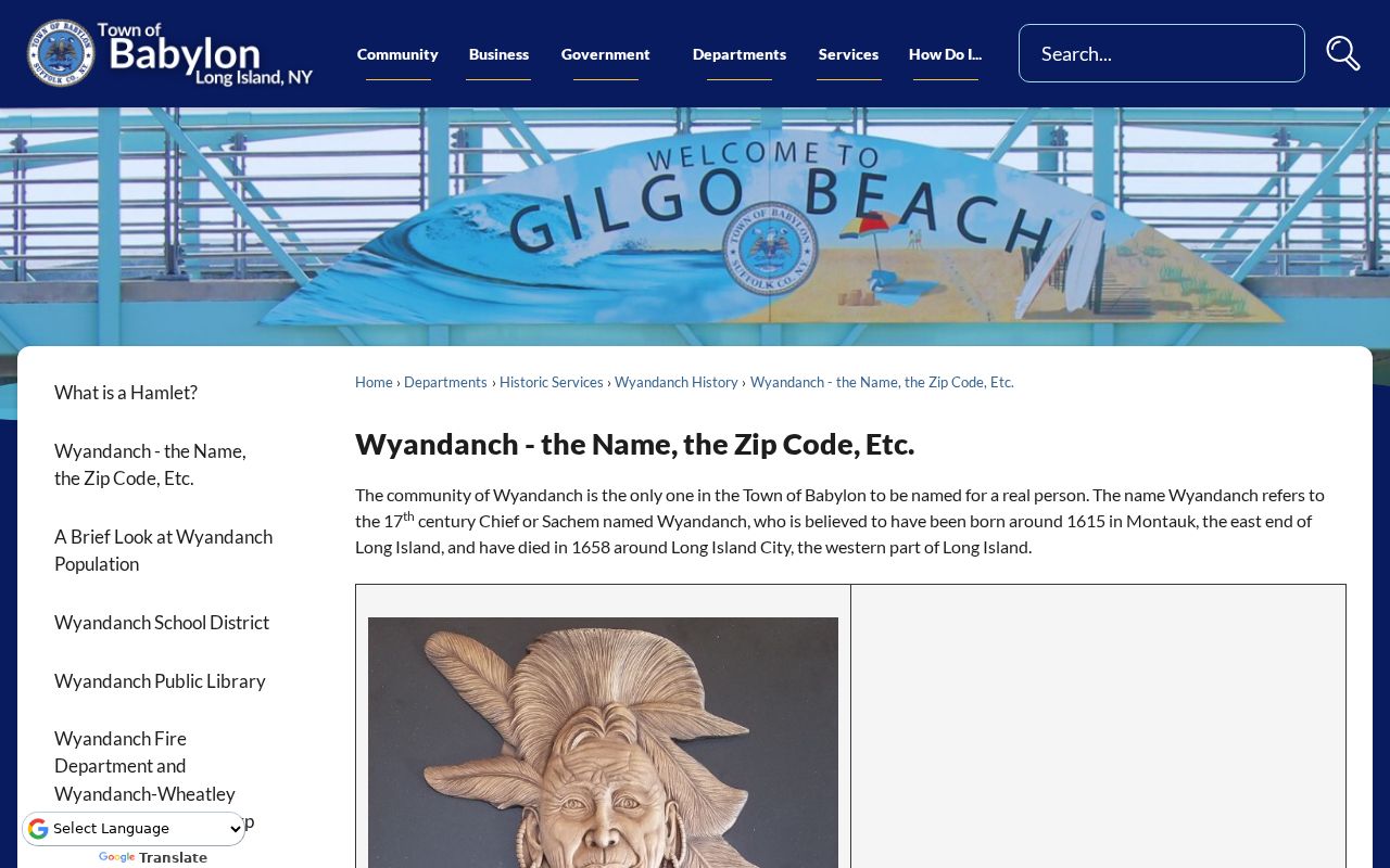
ZIP 11798 is the clearest local example of why postal geography needs context. The Town says the Wyandanch Post Office was assigned 11798, and both Wyandanch and Wheatley Heights use that ZIP. Wheatley Heights is a community name connected with the Wyandanch post-office geography, but it has long been associated with the Half Hollow Hills school district. A shared postal ZIP does not merge the two community identities or their service boundaries.
The Town's Wyandanch ZIP history supplies address examples where post office, school, library, fire, hamlet, and Town labels do not align neatly.
The example reinforces a practical rule: record the postal name and each civic-service label as separate facts rather than choosing a single label for an address.
Town-published examples include an address where West Babylon post-office wording sits beside Wyandanch school, library, fire, and hamlet context. That is evidence of overlap, not a reason to change an address record to fit a preferred community name.
Babylon ZIP Search Fields
The County Clerk's Search Records portal uses ZIP as one field in an address-to-tax-map search. It is not a ZIP-wide people list. Pair a house number, street name, and ZIP to obtain candidate tax-map rows, then carry a confirmed tax-map identifier into recorded-document research. Broad searches should be narrowed because the portal displays only the first 2,000 records.
| Clerk address control | Format or research use |
|---|---|
| House Number | Text field used with Street Name and ZIP for a tax-map lookup. |
| Street Name | Text field used with House Number and ZIP; retain the source spelling when comparing old records. |
| Zip Code | Visible text field that refines the address and tax-map search. |
| Property Tax Map ID | Exact parcel key, especially important for condominium research. |
| Match preference | Starts With, Contains, or Exact when the name and document search needs narrowing. |
| Date From / Date To | Optional date pair for limiting name or document results. |
The Assessor property portal is useful for property cards and rolls, but the exact live ZIP control was not located in official research. Suffolk GIS has a postal layer and map query, while NYS Voter Lookup shows ZIP and address fields only as part of an individual lookup.
Find Babylon Records Within One ZIP
A ZIP can narrow an address trail, but it cannot prove who lives in a whole delivery area. Use this workflow for a single address or a defined records question, then shift to the street-level method only after the parcel is known.
- Verify the complete delivery address with USPS and preserve the postal city, ZIP, and date of the result.
- Use the County Clerk house-number, street-name, and ZIP fields to locate a candidate tax-map record, then confirm the parcel identifier through the Town Assessor or Suffolk GIS.
- Review the GIS ZIP layer alongside town, village, hamlet, school, library, and fire layers. Each layer describes a separate public-service geography.
- Use NYS Voter Lookup only when researching a specific person through its county, name, date-of-birth, and ZIP or address fields. It has no lawful ZIP-wide street-browse mode.
- For a municipal file not exposed online, send the Town a focused existing-record request naming the parcel, year, and record type.
Once the ZIP has narrowed an address, the Babylon street directory supplies the parcel, deed, GIS, and permit trail without treating a ZIP as a household list.
Babylon ZIPs and Service Boundaries
A single address can carry several labels at once. The Town's geographic pages distinguish postal office names from town, village, hamlet, school, library, and fire-district coverage. Its Lindenhurst material separates geographic Lindenhurst from social Lindenhurst and North Lindenhurst even where 11757 is shared. The GIS service includes each category as a separate layer, which is more accurate than treating the postal field as a municipal boundary.
Use the Town's hamlet explanation and the Suffolk GIS Viewer to check the relevant layers one at a time. A school district, library district, or fire district is not a substitute for the legal municipality. A mailing address may also differ from the parcel situs, which is why the Clerk, Assessor, GIS, and USPS can all be relevant to one records question.
Babylon Postal Timeline
Five-digit ZIPs arrived in 1963. The Wyandanch history adds a second local date: Wheatley Heights received formal community-name approval after a 1974 drive connected with its post-office and substation story. Those dates explain why a later postal label can sit beside older community and school geography. The research did not identify another official recent ZIP split, realignment, or complete address-level export for the Town.
This history is a useful warning for records work. Do not assume that a present ZIP resolves an older newspaper, map, permit, or deed reference. Compare the date of the source, its place name, the original address, the parcel record, and the historical map context. The Town's documented overlap is an administrative history, not evidence that a particular source is mistaken.
Babylon ZIP Terms
These postal terms help separate delivery data from property and civic records.
- ZIP Code
- A Postal Service delivery-routing area. It can cross town, hamlet, village, and service-district boundaries.
- ZIP+4
- An added four-digit delivery refinement used with a five-digit ZIP. It is not a municipal or parcel identifier.
- PO-box ZIP
- A ZIP used for post-office box delivery. The research did not identify a Babylon PO-box-only ZIP, so none is assigned here.
- Unique ZIP
- A ZIP used for a particular institution or large recipient. The research did not document one for Town of Babylon.
- Carrier route
- A delivery route used by the Postal Service. It is not a resident list, a parcel boundary, or a town boundary.
Note: Treat a ZIP as delivery information first, then verify geography through the appropriate Town, county, or parcel source.
Limits of Babylon Postal Records
A Babylon ZIP code directory cannot identify a current resident, establish legal municipal boundaries, or replace a parcel search. NYS Voter Lookup is a specific-person service, and voter records carry statutory purpose and privacy restrictions. Protected voter status and the New York Address Confidentiality Program can lawfully withhold an actual address. Do not infer a person's location from a shared postal label, an owner field, or a gap in a public search.
Use postal data carefully. Keep postal, property, and civic facts separate. Do not use a ZIP trail to stalk, harass, dox, or try to locate a protected person.
For existing Town records that require a different access channel, use the Town of Babylon FOIL form. New York Freedom of Information Law (FOIL), Public Officers Law Article 6, §§84–90, covers reasonably described existing agency records, not a request for the Town to compile a ZIP-wide directory.